


BUF-Spot1
Gdańsk Lech Wałęsa Airport – Spotting Guide
April 20, 2020
Airlines in trouble 2020 (modified 31st Dec)
April 28, 2020Gdańsk Lech Wałęsa Airport – Spotting Guide
April 20, 2020Airlines in trouble 2020 (modified 31st Dec)
April 28, 2020Buffalo Niagara Intl. Airport – Spotting Guide
- last modified on November 30, 2023
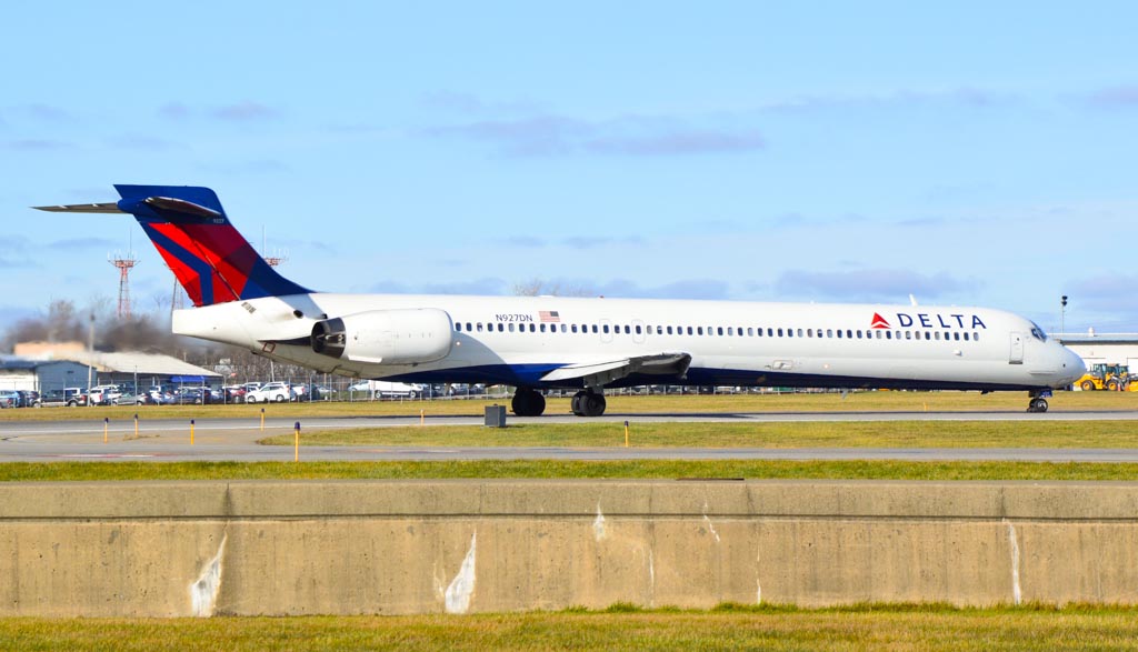
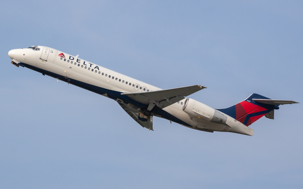
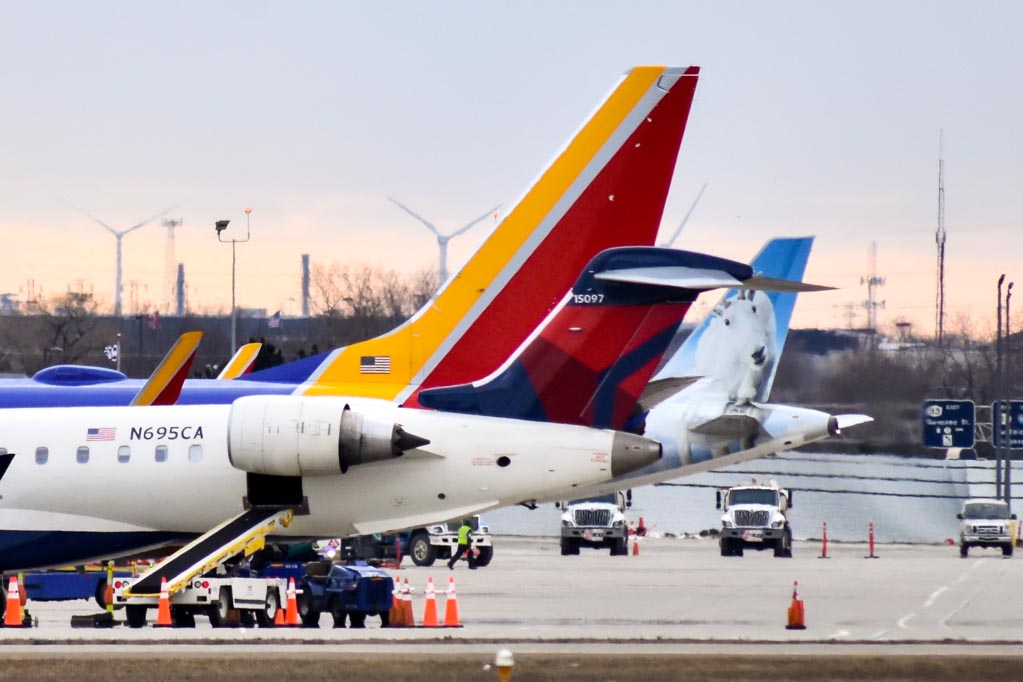
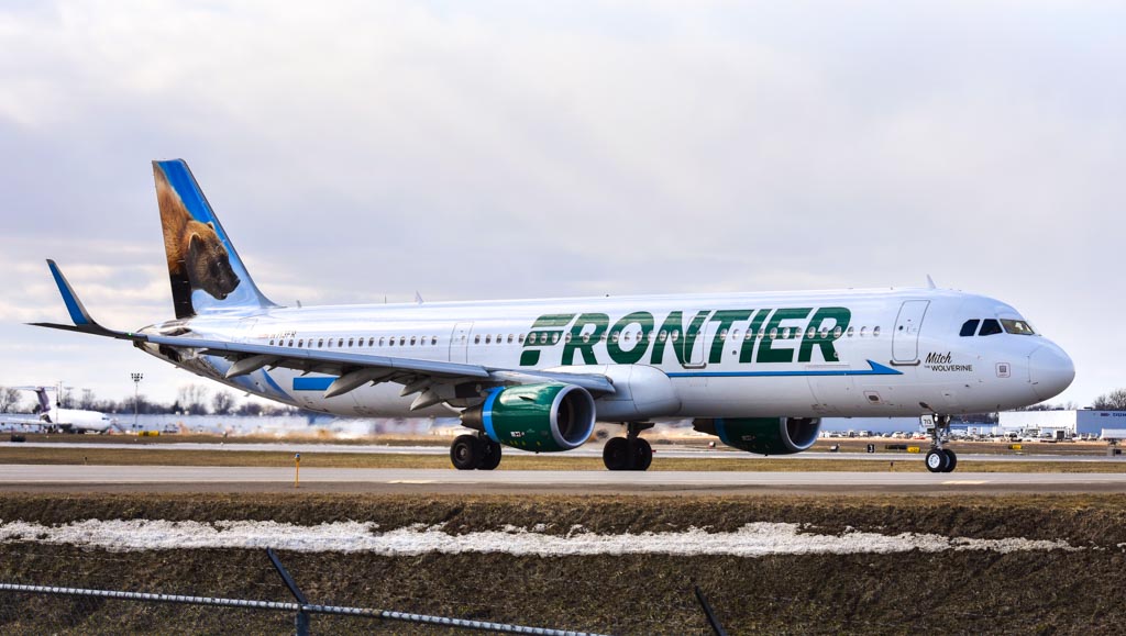
Buffalo Niagara International Airport (BUF/KBUF) is an intermediate size regional airport serving New York State’s second largest metropolitan area. First opened in 1926, it is the third busiest in New York State, and one of the oldest public airports in the United States. The airport’s development benefited from the dominant influence central and western New York had in the early era of aviation. During WWI and WWII, the airport was the location of the Curtiss aeroplane factory which produced thousands of fighters and bombers for the Allied air forces. In 1997, a new terminal complex was developed and opened. Currently the airport provides commuter service to northeastern and southeastern US cities via Southwest, American, Delta, Frontier, Jet Blue and United airlines. There is also cargo traffic with regular service from UPS and Fedex as well as a number of charter and private aviation movements.
Written by Chris Simpson and Noah. Last change: September 2023 (Spot 5 added)
| Rating | |
| Movements | |
| Airline Variety | |
| Photo Locations | |
| Weather | |
| Airport Information | |
| Runways | |
| 05/23 | Asphalt: 8829ft / 2691m |
| 14/32 | Asphalt: 7161ft / 2183m |
| Terminals | |
| PAX Terminal | In the southeast the only normal passenger terminal serving all carriers and destinations. |
| Cargo Terminal | In the west serving UPS, FedEx and co… |
| Airport Chart | 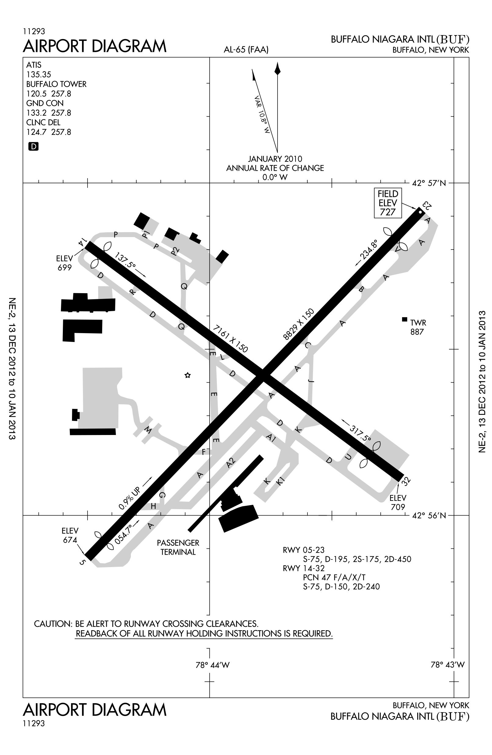 |
| Spotting Information | |
| Ladder | Do not use a ladder in any area adjacent to the airport perimeter. |
| Car/Public Transport | Public transit access is limited to the terminal side of the airport via NFTA bus, otherwise a car is required. |
| Restrooms | Various hotels and restaurants are located on Genessee St. which offer restroom access. |
| Drinks/Food | Various hotels and restaurants are located on Genessee St. |
| Hotels | Various hotels are located on Genessee St. |
| Season | Buffalo is well known for dramatic snow events in winter months, visitors in the winter should be prepared for Arctic type conditions. |
| Security | Keep a low profile while spotting in order to avoid any inconviniences. That’s why don’t show off your equipment if you very close to the fence al the time to avoid strange/suspicious looks. Always carry an ID with you as police can come by and check you. We already received one report that a visitor here was checked by the security services at the Mercy flight location. |
| Runway Usage | |
| General Info | The primary commercial runway is 05/23, most traffic arrives and departs on runway 23 due to the prevailling westerly winds. |
| 05/23 | The primary runway used in both directions. |
| 14/32 | The secondary runway used in both directions, primarily by smaller aircraft. |
| Spot #1 – Holtz Dr/Genessee Street – 32 arrivals and line-up | |
|---|---|
| WHERE | The location is on the sidewalks along Holtz Drive and Genessee Street. It is just a short drive from the airport terminal and easily to reach by foot. If coming by car park in the nearby gas station or hotel. |
| WHAT | Good view for aircraft arriving and lining up on runway 32. For latter you have to shot through the airport fence on the opposite side of the gas station. |
| TIME | Available for the whole day when 32 is active. Just position yourself on the accordingly sidewalk. |
| MISC. | Fast food, gas station and hotels are just around the corner. |
| FOCAL LENGTH | A220 line-up = 200mm; A320 arrival = 80mm |


| Spot #2 – Genessee Street – 05 Departures and Arrivals | |
|---|---|
| WHERE | A paved sidewalk runs along the perimeter fence along the SW corner of the field. This spot has a bus stop, and is close to a number of parking lots for occupied and vacant businesses. Just search your favourite position along the fence or the sidewalk and shot thru or next to it – on the weekend, there is a parking lot just across the street which would allow the use of a ladder, the issue would be drawing attention from the business owners when the lot is full of employees cars. |
| WHAT | This spot affords a clear view of arriving aircraft to 05, and views of taxiing departing aircraft. |
| TIME | Sunrise till late midday/early afternoon. |
| MISC. | This spot is a public thoroughfare and thus can be accessed at anytime. It is completely exposed to the weather. There are hotels and restaurants only a few hundred meters away, as well as the terminal complex. Ladder not really needed as one can shoot through gaps in the wooden slats of the fence – at least departures/line-ups. |
| FOCAL LENGTH | 30-300mm needed |


| Spot #3 – Parking Lot – 14 arrivals and 32 departures | |
|---|---|
| WHERE | From the terminal drive westwards on Genessee Street and take the next right after the 05 threshold into Cayuga Rd. Drive all the way up north until some kind of business complex to the right side with a huge parking lot. Find your preferred position on the lot. |
| WHAT | Good view for arriving aircraft on runway 14 or departing runway 32. The fence has green paneling and the runway itself can’t be seen. |
| TIME | From noon until sunset all year round. |
| MISC. | There are some fast food restaurants at the next junction. |
| FOCAL LENGTH | 717 departure = 120mm; C-17 = 70mm |


| Spot #4 – Business Complex – 23 arrivals | |
|---|---|
| WHERE | There is some kind of business complex, north of the airpot at Lawrence Bell Dr. The areal offers a huge parking lot from where you can photograph the approach for 23. |
| WHAT | Good for arriving aircraft on runway 23 only. |
| TIME | Ideal in the afternoon/evening hours. |
| MISC. | Nothing nearby. |
| FOCAL LENGTH | B38M=130mm; E170=180mm |


| Spot #5 – Mercy Flight – 23 Departures and Arrivals Taxiway A | |
|---|---|
| WHERE | This location has been reopened in September 2023: The spot is a picnic area next to an old restaurant that now belongs to Mercy Flight Air Ambulance, and its a known place for local aviation enthusiasts. It IS located on airport property and is therefore monitored by airport security. You park in a large lot below the building (choose a spot away from the air ambulance facility) then climb a small hill via a sidewalk or the grass. There is a nice and clear view over the airport fence. If coming by car you can park directly at the location and if you stay in one of the airport hotels you can even walk to this spot (15 minutes walk). |
| WHAT | This spot allows a full view of runway 05/23. Becasue of the prevailling west winds, most traffic appoaches from the east and touches down just to the right of this spot. Departing aircraft rotate V1 about level with the spot. Departing traffic also taxi past on the fence side of the runway offering close-up opportunities. The taxiway is roughly 50 meters from the spot. |
| TIME | From sunrise till afternoon for 05/23. Runway 14/32 from sunrise till noon only. This is a daylight spot only, visiting in the dark would most certainly attract security and risk detention. In December, January and February the sun sets almost in line with the runway making afternoon shots to the west challenging and not useable properly in winter! |
| MISC. | Do not cause any issues on their property. Anyone doing that will be tossed, and if they return, they’ll be taken care of by NFTA PD.
There are no restrooms or food or drink vendors close to this spot. It is quite exposed in winter and can be very cold. There is cover to hide from wind and rain, but it is necessary to move into the exposed area to take pictures. No ladder needed as one can climb the small hills around here. |
| FOCAL LENGTH | Taxiway = 50-70mm / Runway = 100-300mm< |


Problem is with Spot 2 is that I didn’t see any bus stops anywhere along Genesee where the sidewalk was. To be clear, I was going down the main road where the airport parking lot and all the hotels are, as well as the McDonald’s.
Holy crap I’ve waited FOREVER for at least SOME good spots. For most of the time I’ve been spotting on the side of Holtz Dr. and sometimes you can get some good shots from there, but it’s rather awkward and I don’t know if it’s actually legal.
Spot #3 has no photo signs btw for anyone that is thinking of going there.
Hi, where are the signs installed? At the fence or at the parking lot?
-Julian
The signs are posted saying you can park there unless you are using the sports center so not really no photo signs but that is what I interpreted as.
Sorry to break up the conversation here, but would an 18-55 mm lens work ok with the main runway for Mercy Flight?
***ATTENTION***
SPOT 1- MERCY FLIGHT CLOSED
It is taped off and has a sign that viewing is no longer available to the public. People were misbehaving and ruined it for everyone else. Unknown if they will ever reopen.
That’s pretty sad! It was really a nice locations. Are there any alternatives?
-Julian
Through trial and error, I’ve found the next 3 best spots (not as good as Mercy Flight though). Those new spots can be found…
here: https://goo.gl/maps/RHjwruAmwMWbc9Wy5 which has a good view for aircraft departing/arriving runway 32. You can also walk the sidewalk parallel to Genesee st. depending on lighting location.
here: https://goo.gl/maps/CdCszQBMdfYg2LSh7 which provides a good view for arriving aircraft on runway 14, but the fence has green paneling over it. When the plane gets below the fence line or if you go here for 14 departures, they are hardly visible.
here: https://goo.gl/maps/1hWATwXJLDg8mFDT9 which has good angles for arriving aircraft on runway 23. Based on the sun, this location is ideal in the afternoon/evening hours.
(sorry for the late reply)
Hi Noah, spots are pretty nice. Can you provide us some sample photos too? Would be nice!
-Julian
The Mercy Flight spot has been reopened. Open from dawn to dusk
Is it open every day?
Nice to hear that! So we can put it back to the guide. Anything has changed?
Open from Dawn to Dusk. But they’re cracking down on any and all BS. No causing any issues on their property. Anyone doing that will be tossed, and if they return, they’ll be taken care of by NFTA PD. If they have to close this place off again, it’ll be permanently
All right. I put it back to the guide and lets hope it remains open
-Julian
I’ve been to the Mercy Flight spot and it’s super cool!!!
In my opinion it’s the ONLY way to really see this place. Otherwise I just parked on the side of Holz Drive and hoped for the best. Did get some nice photos there though
Today I was at Mercy Flight and an employee asked me and another guy to leave. He said you can’t walk past some cones. He also mentioned something about the NFTA. Has anyone else had this problem?
Pretty strange because this is a well known place for aviation enthusiast. This is the first time I hear something like that.
-Julian
The cones were up across the sidewalk leading up to the picnic area because Mercy Flight was out of service temporarily due to the recent Mercy Flight crash in Elba. The cones are now gone since Mercy Flight is back in service.
There is absolutely no need for a ladder at spot #2 and as far as NFTA PD checking on people at spot #1 it’s EXTREMELY rare so there is zero need to worry. Plus the NFTA PD knows about the spotting that occurs as do the workers at the Mercy Flight facility and will tend to tell anyone who harass spotters about “illegal photo taking” at the airport outside the perimeter fence to leave the spotter(s) alone
Thanks, updated it. Is everything correct now? Please have another look…
-Sev
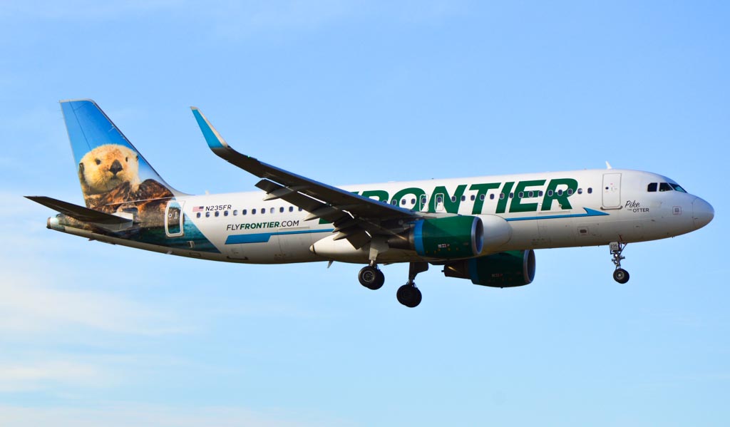
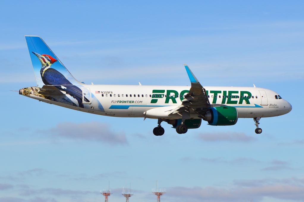
Is this airport under normal circumstances a good place to catch a decent amount of Frontiers? If yes, is there a lot of variety of them or is it very much the same birds every day?
Greetings from The Netherlands
Under normal circumstances you should get some Frontiers yeah, but I/we don’t know how often/if they change the aircraft regularly…
Hope this helps..
-Severin