


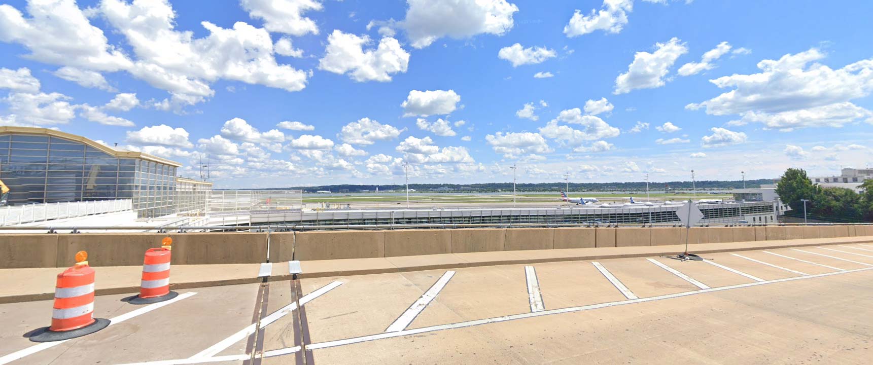
DCA-Spot1 South
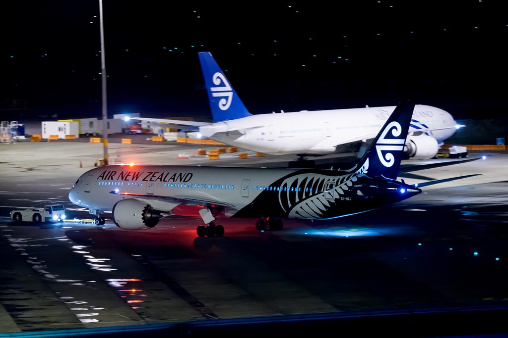
Auckland Intl. Airport – Spotting Guide
April 2, 2013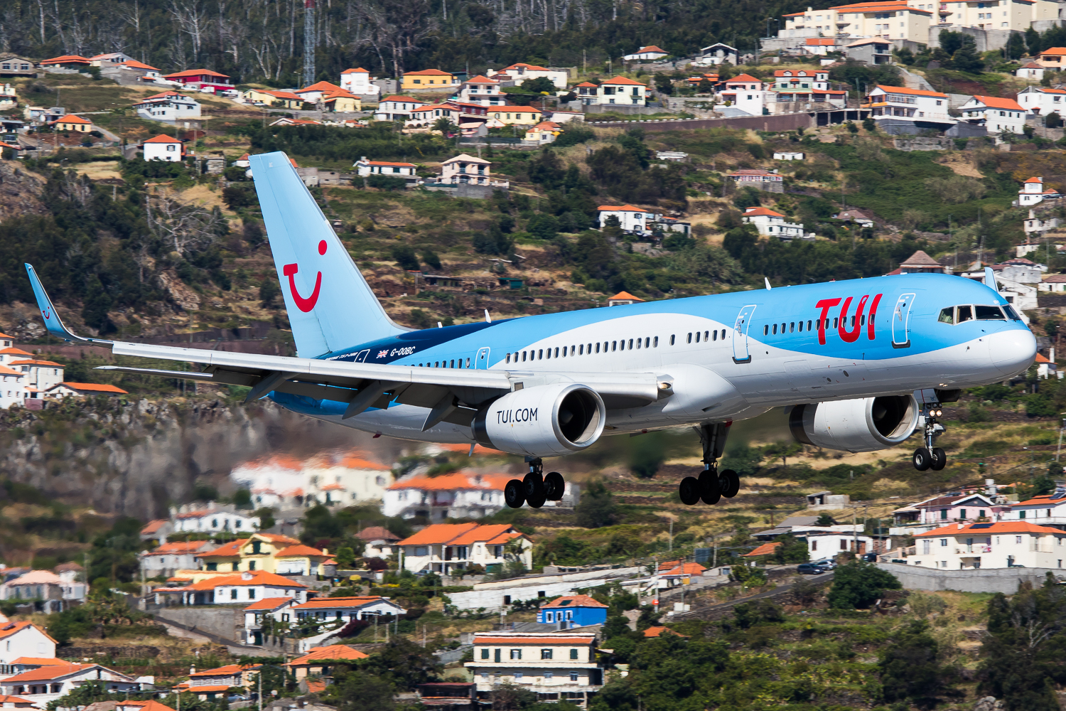
Funchal Madeira Airport – Spotting Guide
April 29, 2013Auckland Intl. Airport – Spotting Guide
April 2, 2013Funchal Madeira Airport – Spotting Guide
April 29, 2013Ronald Reagan Airport Washington – Spotting Guide
- last modified on January 26, 2024
The airport of the Capitol of the USA, Ronald Reagan, almost 14 Mio. passengers in 2021 and is located next to the Pontomac river. As the name implies, DCA is a national airport only, with no TSA passport control at all. Some flights to/from Canada takes place but these passengers are already checked within the Canadian departure airports.
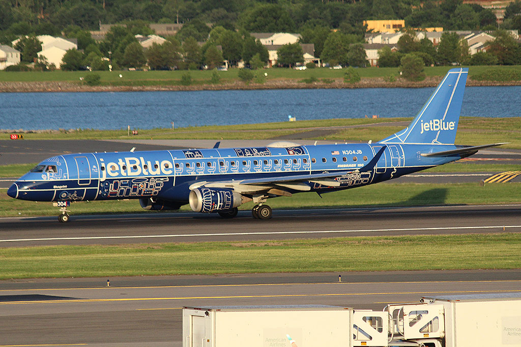
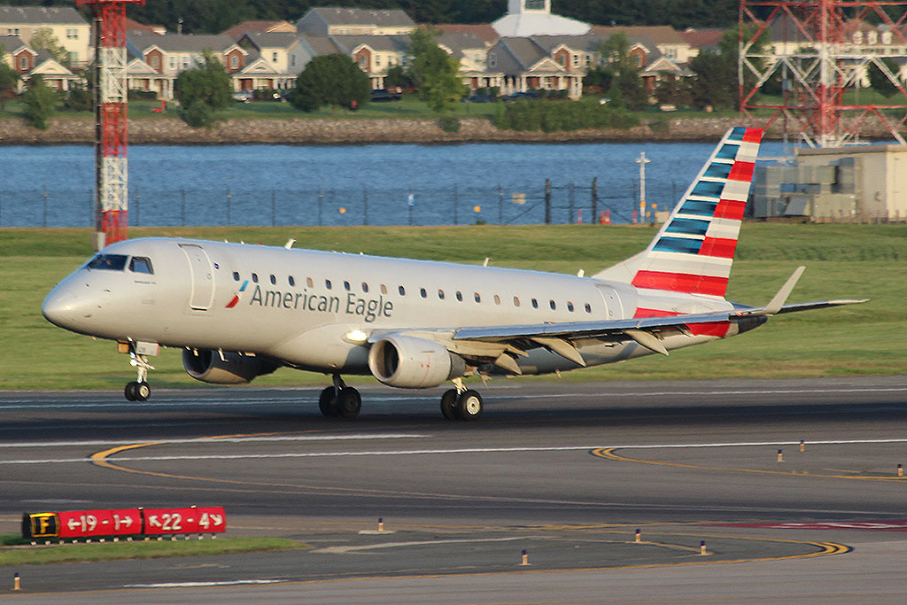
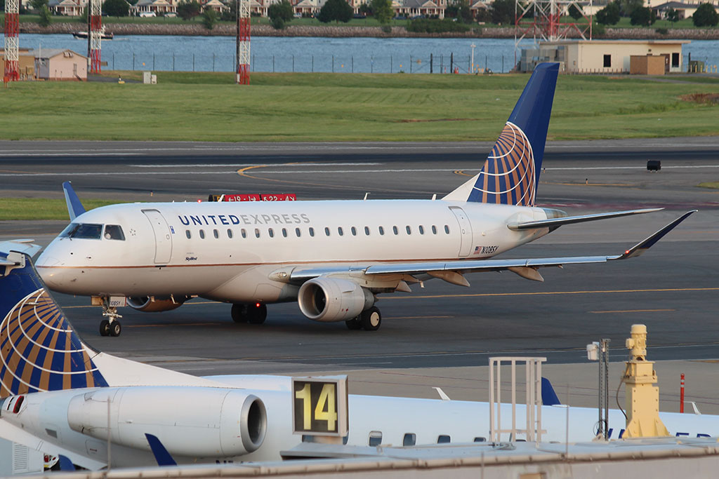
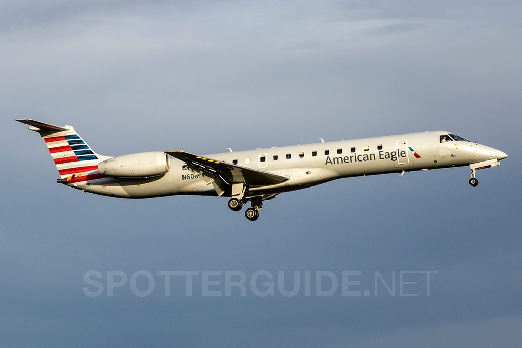
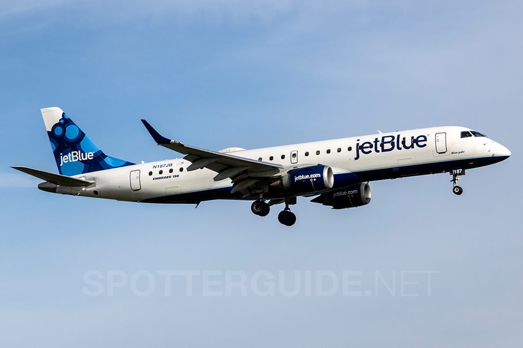
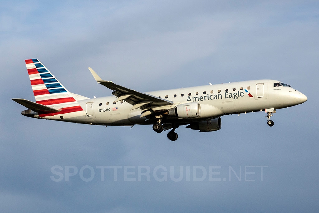
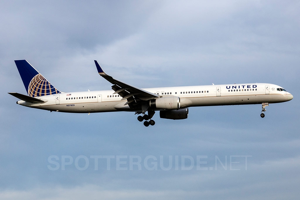
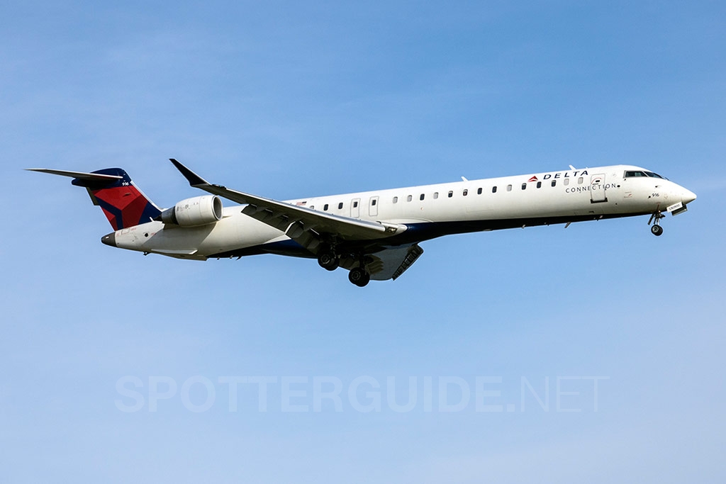
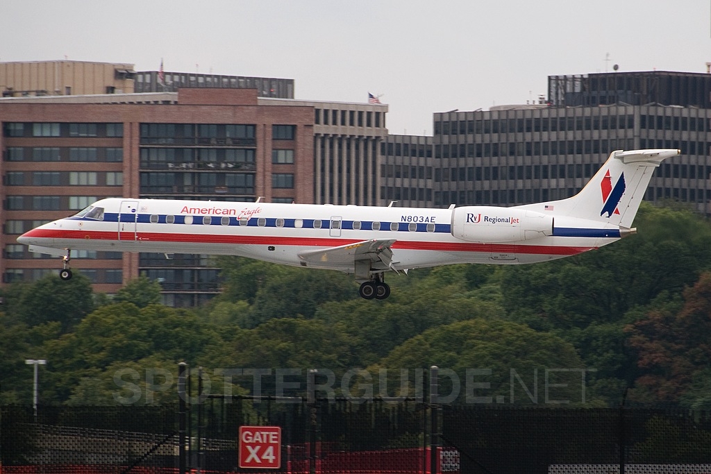
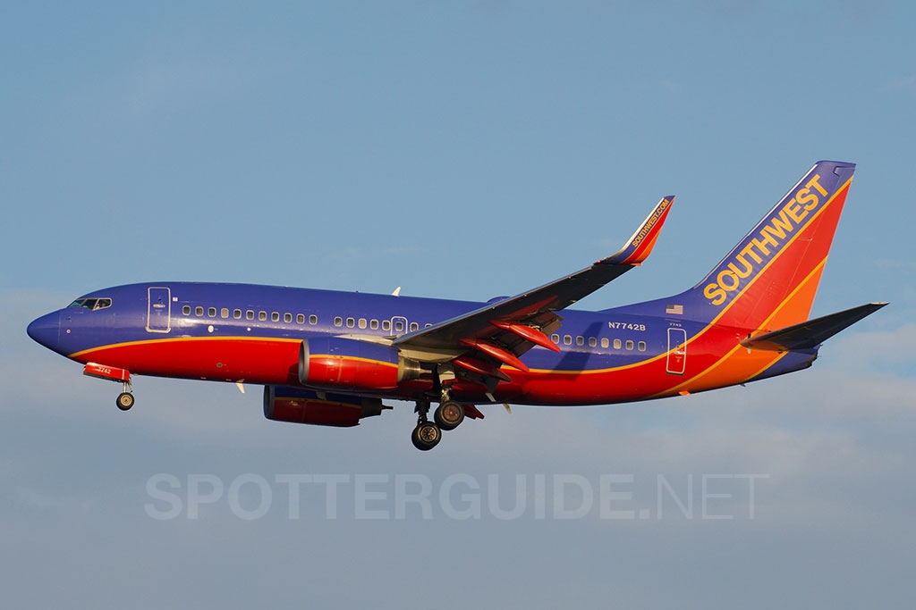
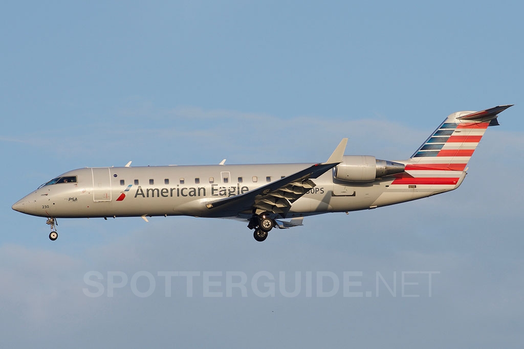
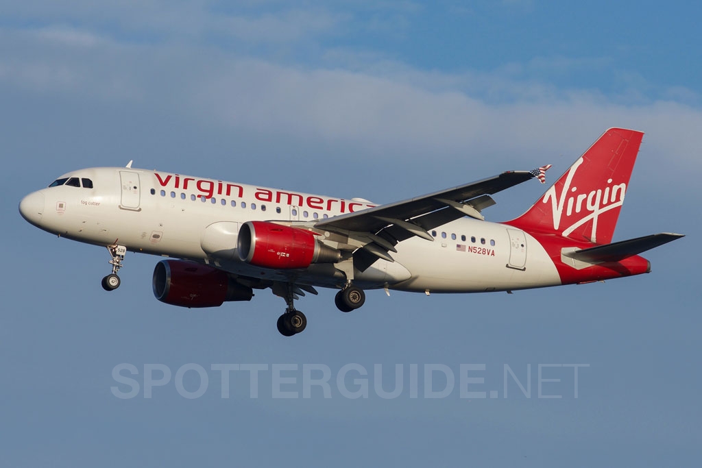
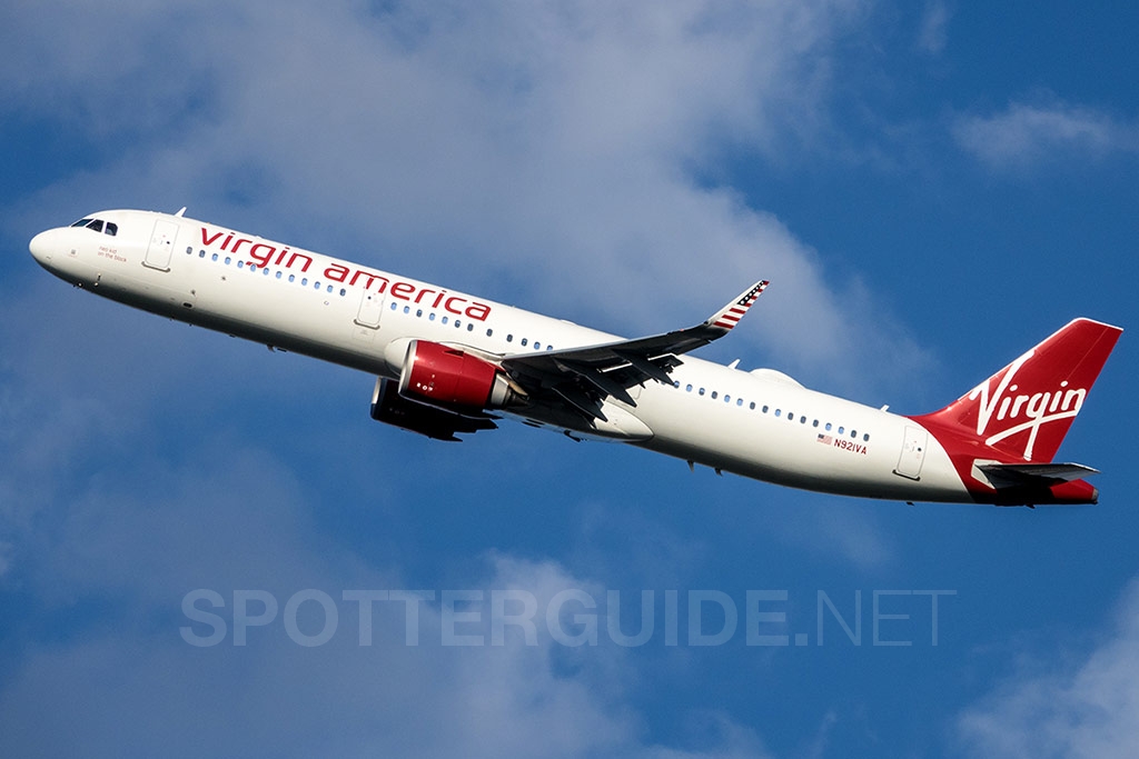
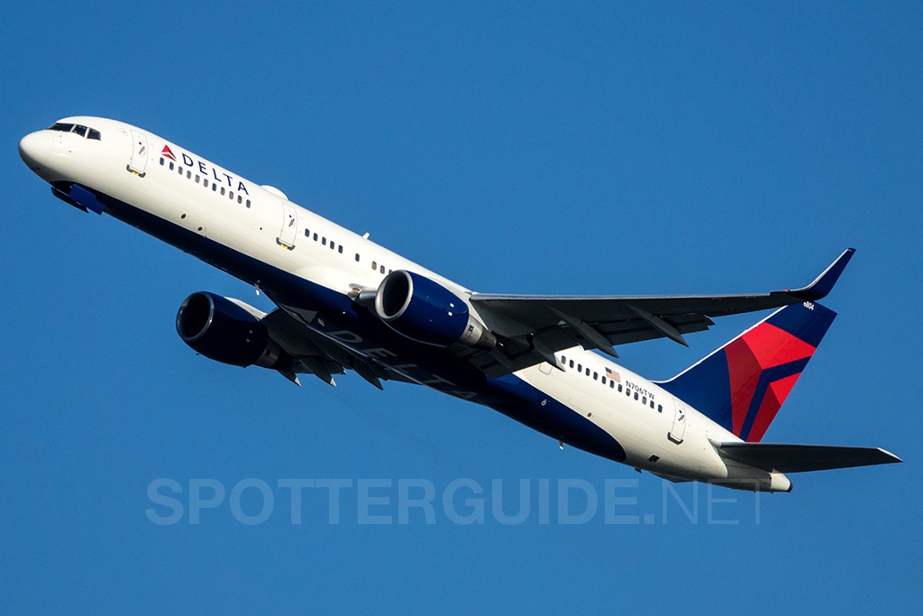
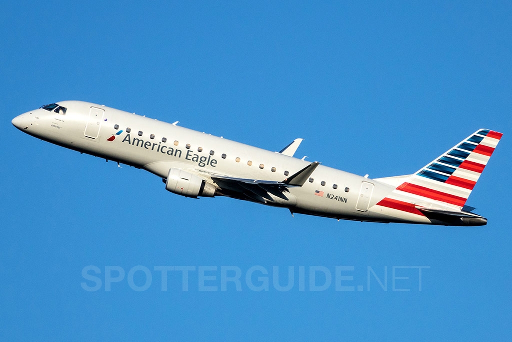
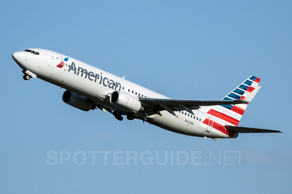
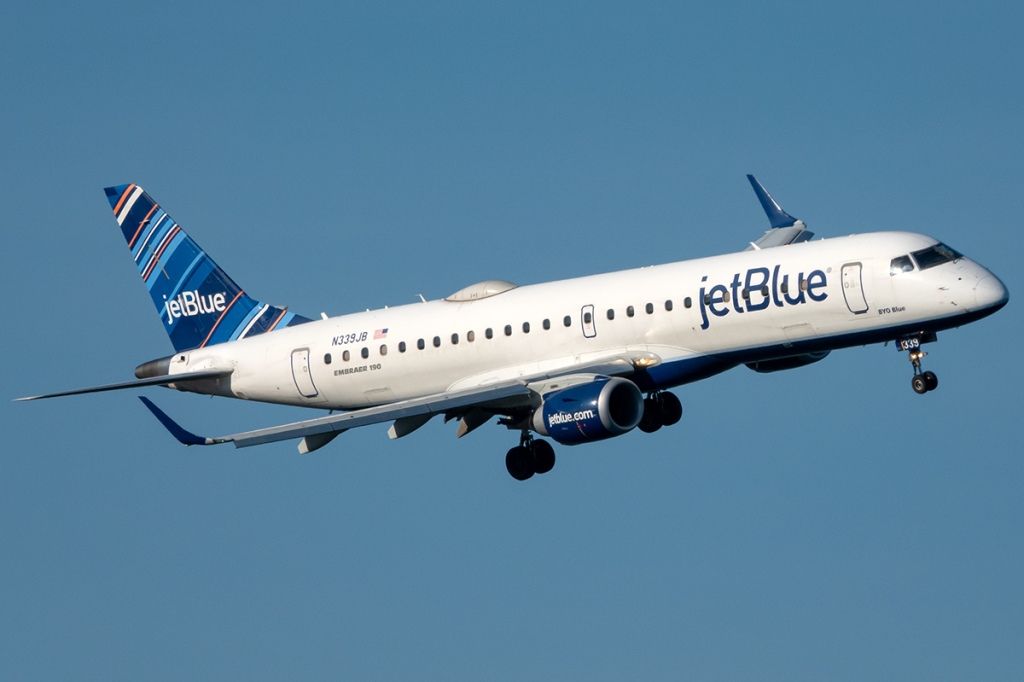
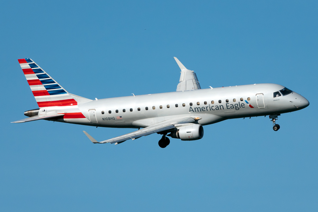
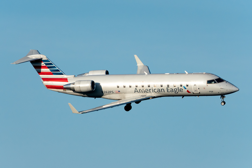
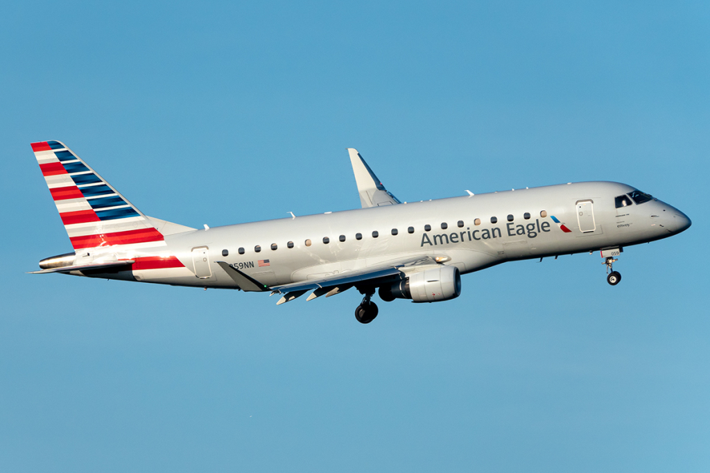
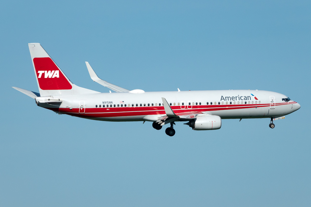
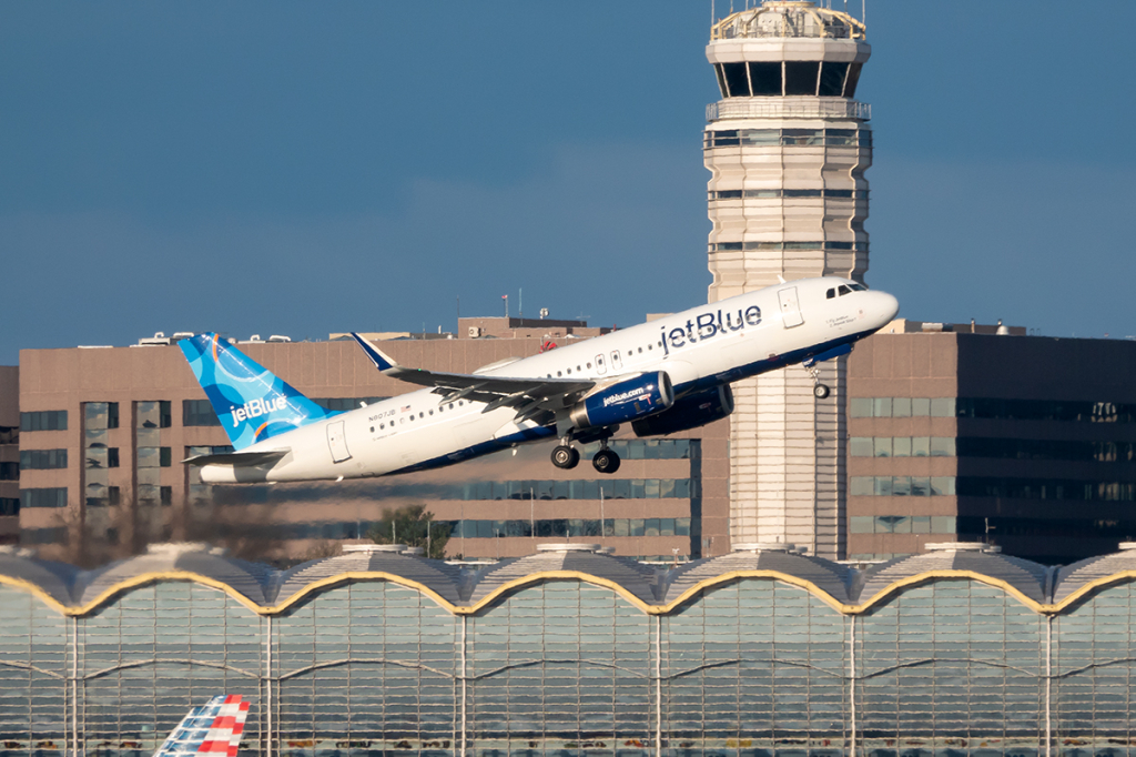
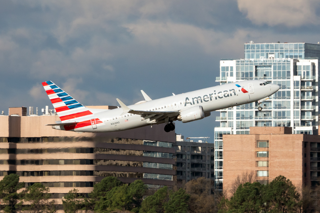
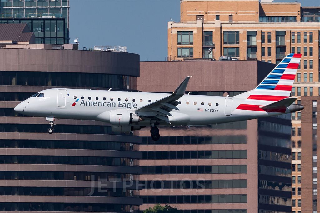
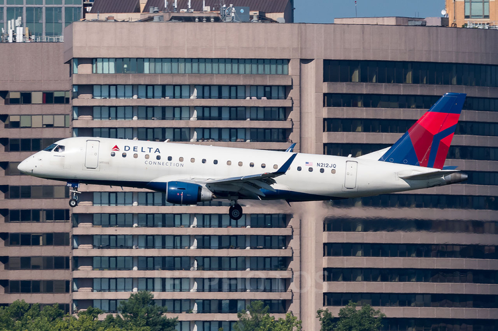
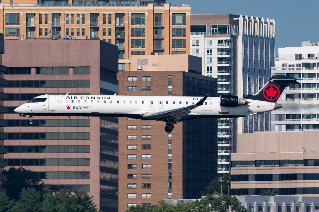
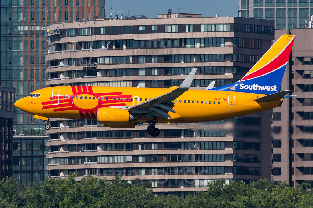
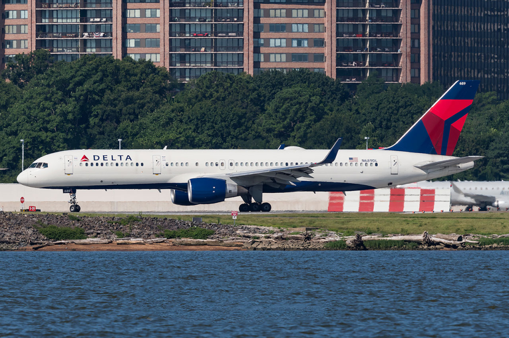
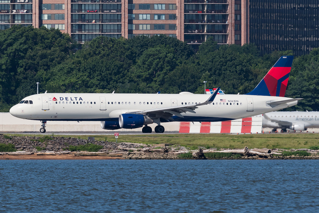
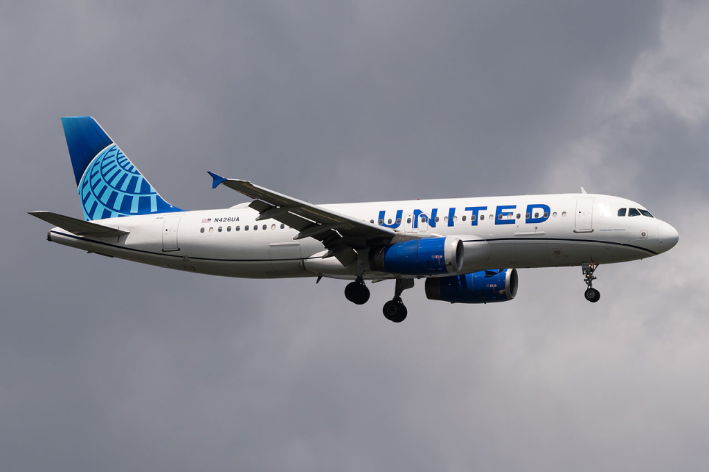
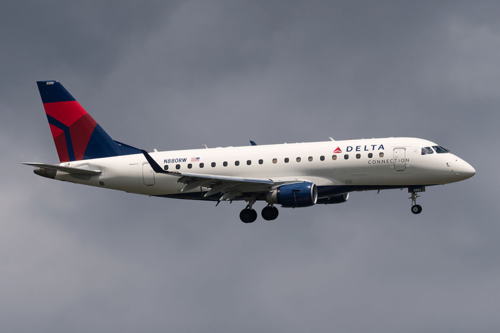
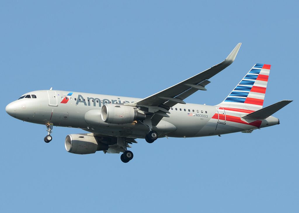
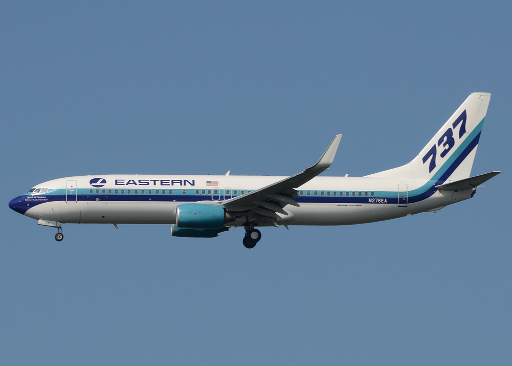
American Eagle has a small regional hub in Washington, serving several smaller cities along the east coast. The other major carriers are American, Delta, Southwest and JetBlue, offering a wide variety of destinations too.
Due to noise restrictions, planes are asked to operate the “River Visual” approach if RWY 19 is in use, which is heading above the Pontomac river. This one is very interesting from a passengers sight (if you are sitting on the left) as you have a great view over the city of Washington with the White House and the Capitol for example.
Written by Julian Mittnacht, Ruoyang Yan, Rafal Szczypek, Mogami Kariya and Stefan Geisenberger. Last Update: January 2024 (Spot 7 added)
| Rating | |
| Movements | |
| Airline Variety | |
| Photo Locations | |
| Weather | |
| Airport Information | |
| Runways | |
| 01/19 | 2.094 m (7.169 ft) |
| 04/22 | 1.497 m (4.911 ft) |
| 15/33 | 1.586 m (5.204 ft) |
| Terminals | |
| Terminal A | Air Canada Express, Frontier, Southwest |
| Terminal B | UA, DL, AA, JetBlue and Alaska |
| Terminal C | American Airlines only |
| Spotting Information | |
| Ladder | Not required. |
| Car/Public Transport | Not required. You can walk to most spots from the terminal and there is a good public transport too. |
| Restrooms | At almost all spots there are public restrooms. |
| Drinks/Food | There is nothing directly available at the spots except #1. |
| Hotels | There are a couple of hotels west of the terminal but we have no reports about the view from there. |
| Season | Due to the north/south direction of the major runway its best to go there in the summer months. Especially in the evening hours you will have superb light conditions. |
| Runway Usage | |
| 01/19 | Main runway used in both directions. |
| 04/22 | Not known to be in use. |
| 15/33 | Just a few regional jets use it for arrival. |
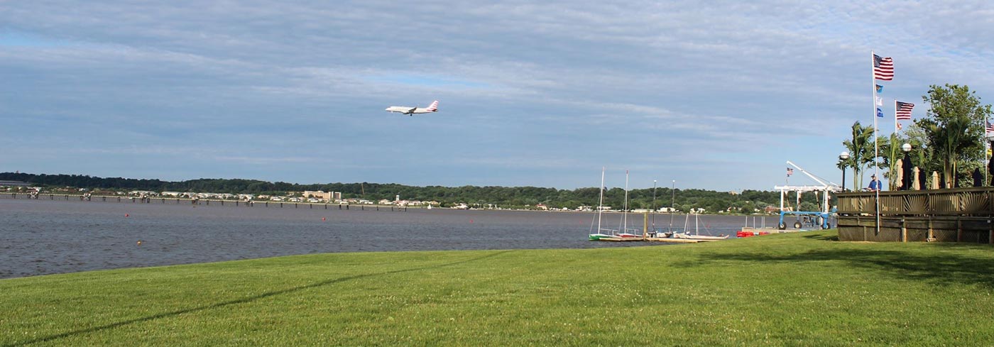
| Spot #1 – Terminal B/C – Apron, 15&19 arrivals | |
|---|---|
| WHERE | Get out of the terminals at the departure level. Walk southwards until you will reach a small plaza at end of the terminal with benches and trees. You can stay there (ongoing constructions end of 2022) or stay on the sidewalk that goes down the access ramp to the terminals. |
| WHAT | From the point, you can see terminal B ramp, this includes airlines for Alaska and United and is the perfect place for spotting when the aircraft are landing from the south and taking off to the north from runway 01. Terminal roof and parked aircraft interrupt the sight of the ramp. The runway is clear. |
| TIME | Starting from noon till sunset to be a good spot. Also, night photography is possible. |
| MISC. | Heat haze is an issue at both locations if you photograph the runway! Food, drinks, restrooms can be found inside the terminal and you can enjoy your meal at the spotting location. |
| FOCAL LENGTH | 50-500 mm |


 |
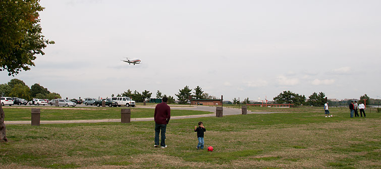
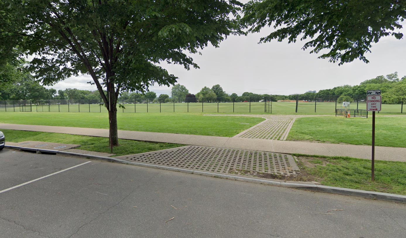
Spot 2 – Gravelly Point Park – 19&15 arrivals |
|---|---|
| WHERE | The most famous spot in Washington and also loved by its citizen. Use the lower arrival level and exit the terminal there. Follow the footpath that is marked on the map northwards on the Mt Vermon Trail. After 15 minutes you will see the park to your right By car accessible from the George Washington Memorial Hwy. You have to come from the airport directly to enter the parking lot. |
| WHAT | The park is directly under the approach of RWY19 and you can watch the famous ‘River approach’. In the morning find a place on the east side (not the best angle) and then switch over when the light has turned. |
| TIME | For runway 19 arrivals from afternoon till sunset. Runway 15 arrivals until noon without backlit. |
| MISC. | It’s a place to relax! Benches, trees, and water. Buy your stuff in the terminals before you get there. |
| FOCAL LENGTH | 50-150 mm |


| Spot #3 – Daingerfield Island – 01 Arrivals | |
|---|---|
| WHERE | There is a Marina on Daingerfield Island, a few miles southward of the airport. It’s accessible from the George Washington Memorial Hwy. Park there and find a position next to the water on the grass. Don´t block the boat ramp. Furthermore, you can find a place on the outdoor terrace of the nearby restaurant called “Triple Craft” and watching the traffic whilst enjoying some drinks and burgers. This is how the terrace looks like. There is also a nice trail from the terminal (metro station) to the photo position. It will take you approximately 30 minutes. |
| WHAT | Arrivals on RWY01 only. |
| TIME | Starting at noon to be a good spot |
| MISC. | A restaurant, restrooms and vending machines directly at the marina. The location is a nice and relaxing place to spot from. |
| FOCAL LENGTH | 70-200 mm |


| Spot #4 – Long Bridge Aquatics & Fitness Center – 01 departure & 19 Arrival | |
|---|---|
| WHERE | The Long Bridge Park located near the end of runway 01, if you are driving, use US-1 and follow the direction on Google Map, there is a big football field next to the park and you can park your car in the public parking lot there, next to the Aquatics & Fitness Center. Parking is free of charge. This location is also accessible by bus NO.92, you may get off at “Long Bridge Drive” station and its also accessible from the terminals. There is a small observation hill in the park which is an ideal location. You may also move along the trail to find a better angle or stay down at the parking lot. |
| WHAT | This is a nice location for spotting departures on 01 in the afternoon. The traffic will slightly turn left shortly after taking off so it’s possible to get a unique angle of climbing. Arrivals on 19 can also be spotted here for southern operations when the aircraft make the famous river approach right turn. Keep in mind the sight for 19 arrivals is limited for 90 degree shots due to the trees. |
| TIME | From noon to sunset all year round. More ideal in the late afternoon. |
| MISC. | Take food and drinks you need as there is no shop nearby, the restroom can be found inside the football field. |
| FOCAL LENGTH | For 01 departures, 400mm to get a full frame of B757 / B737, 500mm or longer is needed for regional aircraft and business jets. For 19 arrivals, 300mm to get a full frame of B757 / B737, 400mm or longer is needed for regional aircraft and business jets. |
For 01 departures


For 19 arrivals


| Spot #5 – Hains Point- 01 departure and 19 arrivals | |
|---|---|
| WHERE | The Hains Point located on a island at the east side of the airport, if you are driving, use I-395 and exit at Ohio Drive SW, following the Google Map and drive toward the south end of the island. There are plenty of position for spotting along the west side of Ohio Drive SW, off-street parking is for free. For the arrivals on 19 we recommend to stay a bit north of the park (parking lot 19) and for the departures further south. But in general you can stay all along the waterfront. |
| WHAT | This is a nice location for spotting departures on 01 and arrivals and line-up on 19 in the morning. For latter heat is an issue! |
| TIME | In the morning until noon all year long. Keep in mind the huge distance to the object, so heat haze is an issue on hot and humid days. But as you can see in the samples from the northern point, even in August, you can have almost zero heat distortion if the conditions are good. |
| MISC. | Take food and drinks you need as there is no shop nearby. Shadow and picknick tables are granted. There are several public restrooms on the island within walking distance. |
| FOCAL LENGTH | At least 500 mm as the largest aircraft in DCA is 757 and the distance between this location and the runway is around 1.3 km. A 737/A320 is 600mm! |
Southern Point, 01 departures


Northern Point, 19 arrivals & line-up


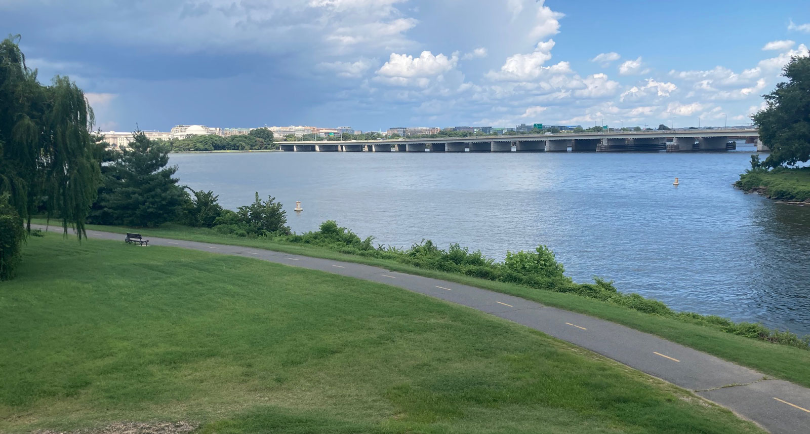
| Spot #6 – Memorial – 19 arrivals | |
|---|---|
| WHERE | You have to get to the Columbia Island Marina from the George Washington Pkwy. Once there, park at the marina and walk along the waterfront to the Memorial, by passing the parkway through a pedestrian tunnel. In general you can stay everywhere around the memorial. |
| WHAT | From here you can photoraph arrivals on 19 only. |
| TIME | From noon to sunset all year round. More ideal in the late afternoon. |
| MISC. | A pretty nice place to hang out. There are benches and trees spending shadow. A restaurant and public restrooms are located at the nearby marina. |
| FOCAL LENGTH | A320 = 200mm; E170 = 300mm |


| Spot #7 – West Potomac Park – 19 arrivals | |
|---|---|
| WHERE | The position is actually located across the road from Martin Luther King statue. It’s a sports field where nobody will bother you. You can bring law chairs and enjoy morning arrivals when the airport is using 19 for landings. It’s called West Potomac Park and it is just a short walk from the cities main attractions. By car you can leave the car at Ohio Drive where there is tons of street parking (might be paid if weekdays) and walk 3 minutes to the spot. |
| WHAT | From here you can photoraph arrivals on 19 only. |
| TIME | In the morning until noon all year long. During the winter period the sun isn`t on this side. |
| MISC. | Toilets should be in the vicinity. No drinks nor food in the area. |
| FOCAL LENGTH | A320/737 family around 250mm |


FYI, the restaurant at spot 3, Triple Craft, is closed according to Google Maps. I’ll be in DC in a couple weeks and will confirm or deny Google’s claims.
well i give dca a 9/10 i have been there before 1 time.
me to
Spot 1: The Southern plaza has been removed for building works. You can spot from the sidewalk of the terminal approach ramp, but be mindful of pedestrians that you do not obstruct the path too much. You need at least 200mm to reach the runway, and if aircraft park on gates B14 or 16 you will struggle with heat distortion from their APU’s, as well as other terminal furniture. I spent about 2 and a half hours on this sidewalk on November 4th 2022 and encountered no problems. Police did pass by on numerous occasions but without any inquires.
For Long Bridge Park, I used to go straight to the tall hill overlooking the new swim center (which doesn’t block the view thankfully). There is another spot on the main walk path by Long Bridge Park, by the soccer field closest to the Boeing building. There there are some gaps in the vegetation that allow you to catch some runway 01 landing and rotating traffic, albeit heat haze can be a problem with anything on the surface.
05/2020: The viewing from the north plaza is somewhat obstructed due to the new terminal being built.
There is another spot that I have been to that is not listed. It is Hains Point, on the little island across the river. It does not give the best views of taxiing, but is good for takeoffs and landings.
Hains Point, being east of the airport, is a good spot only in the morning. You will need at least a 300-400mm lens, and will need a lot of cropping for the smaller aircraft. Takeoff shots come out decent, but heat haze is a big issue for anything on the surface.
Usually I use the Lime Scooters to get from Gravelly point to the terminal or Dangerfield island.
October 2019: Be aware: You can no longer walk from the terminal to Gravely Park, spot 2, due to a new terminal extension being constructed and the footpath closed. I was able to take good shots in the terminal through glass or outside at both ends of the terminal on the upper level. (Spot 1). I asked at the information desk if photographing was permitted in the terminal and was told it’s fine and had no problems with security at all. Note: Construction of the new finger to the north of the terminal looks like it is 30% complete so I guess access to Gravely Park MAY be accessible late 2020.
Thanks for that info David. I will update that with the path but I think if you use the Vermon Trail it should be accessible .
If you have some pics for the location inside the terminal I can add this to the guide.
-Julian
It’s runways 19 and 22 that do the river visual, but they usually only use 19 because it’s longer and has a sooner and smaller turn for the final. There is no runway 8.
Thanks for you advice John. We had some errors in the text which have been corrected.